High-resolution aerial imagery can be processed into detailed maps, models, and visual records that provide a clearer understanding of a property or project. OnPoint combines carefully planned aerial data collection with photogrammetry to create practical information for evaluation, planning, documentation, and comparison.
HOW WE WORK
Mapping Built Around the Objective
PLAN
Define the Objective.
We begin by understanding the property, the information you need, and how the finished mapping or model will be used.
CAPTURE
Collect the Data.
We plan and capture overlapping aerial imagery from the perspectives and coverage needed to document the property accurately.
PROCESS
Build the Deliverable.
We process the captured imagery into maps, models, and visual data designed to provide a clearer understanding of the property.
WHERE WE CAN HELP
Mapping & Models for Real-World Needs
AERIAL MAPPING
See the Property as a Whole.
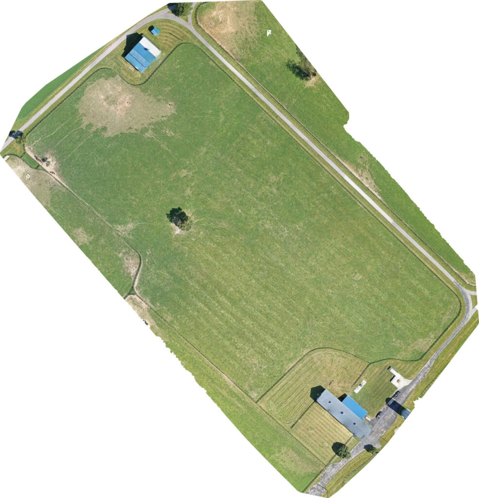
Overlapping aerial imagery can be processed into detailed orthomosaics that provide a clear, high-resolution view of a property, site, or project area.
3D & ELEVATION MODELING
Understand the Shape of the Property.
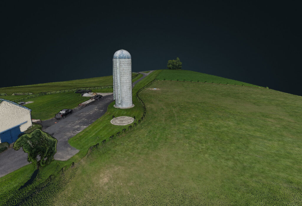
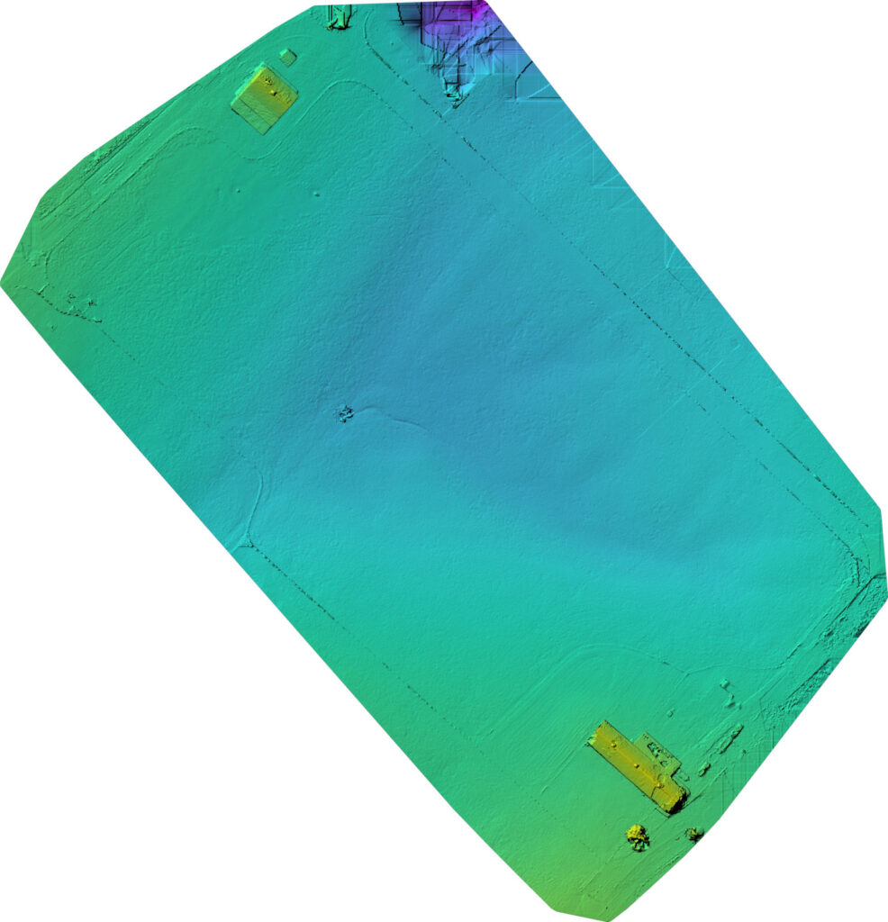
Aerial data can be processed into three-dimensional and elevation models that help visualize structures, terrain, surface features, and differences in elevation across a site.
FROM IMAGERY TO INFORMATION
One Dataset. Multiple Perspectives.
ORTHOMOSAIC
See the Property as a Whole.
3D MODEL
Explore the Property in Three Dimensions.
ELEVATION MODEL
Understand the Shape of the Property.
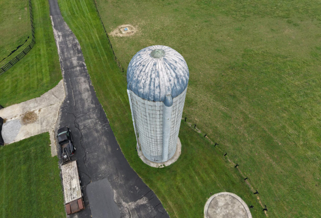
AERIAL IMAGERY
See the Property From a Different Perspective.
WHAT YOU CAN EXPECT
Clear Data. Useful Information.
ACCURATE Carefully Collected Data.
We use planned flight paths and consistent image capture to create the strong source imagery needed for reliable mapping and modeling.
USEFUL Information You Can Understand.
We turn aerial imagery into clear visual products designed to make property conditions, features, and relationships easier to evaluate.
REPEATABLE A Record for Comparison.
Mapping missions can be planned for repeat visits, providing consistent visual documentation that can help show changes or progress over time.
NEED A CLEARER VIEW OF YOUR PROPERTY?
Let’s Talk About What You Need to Understand.
Tell us what you need to see, measure, document, or compare. We’ll help determine whether aerial mapping or modeling can provide the information you need.