High-resolution aerial imagery provides a clear view of roofs, structures, and surrounding property conditions that can be difficult to document from the ground. From detailed photographs to comprehensive aerial mapping, OnPoint provides visual information designed around what you need to see.
HOW WE WORK
Documentation Built Around the Property
ASSESS
Understand the Property.
We begin by understanding the property, the areas that need to be documented, and the information you need from the aerial imagery.
CAPTURE
Document the Details.
We capture high-resolution aerial imagery from the perspectives needed to clearly document roofs, structures, and surrounding property conditions.
DELIVER
Provide a Clear Record.
We deliver clear visual documentation to support evaluation, planning, maintenance, project records, and future comparison.
WHERE WE CAN HELP
Clear Documentation for Real-World Needs
ROOF DOCUMENTATION
See Conditions From Above.
High-resolution aerial imagery provides a clear view of roof surfaces, penetrations, flashing, drainage areas, and other visible conditions that may be difficult to document safely from the ground.
PROPERTY DOCUMENTATION
Create a Clear Visual Record.
Aerial imagery can document structures, property features, site conditions, and surrounding areas to support planning, maintenance, project records, or comparison over time.
SEE THE DIFFERENCE
One Property. Two Ways to Understand It.
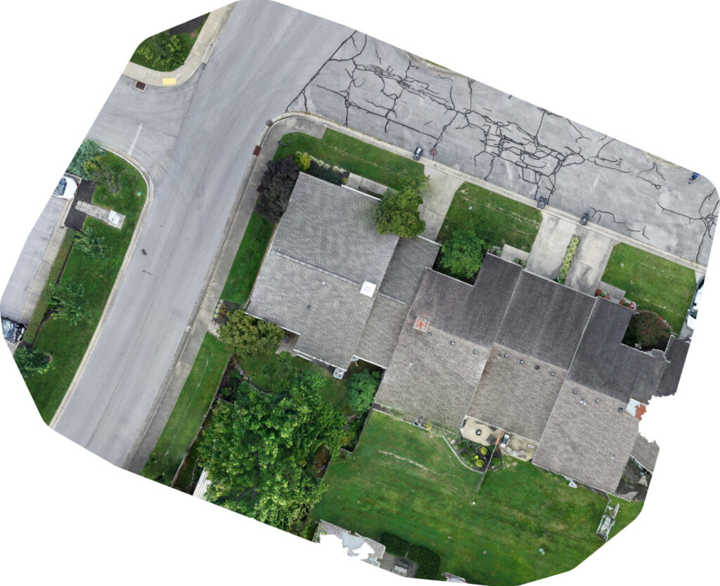
ORTHOMOSAIC
A Detailed View of the Property
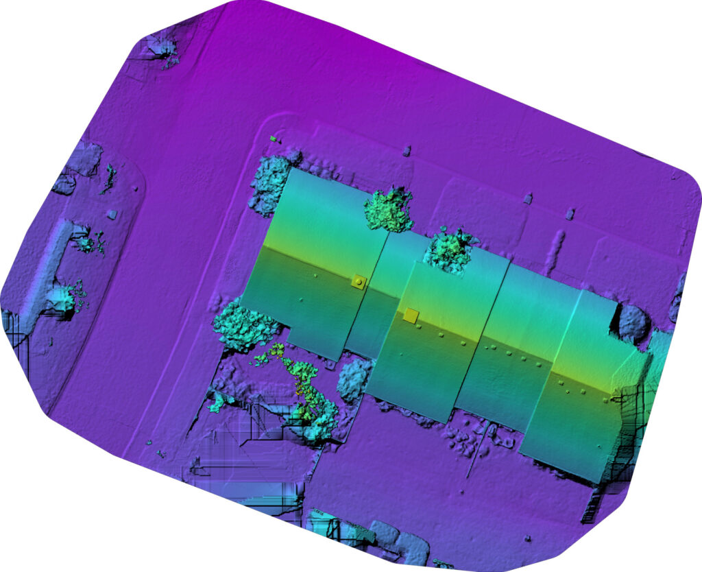
ELEVATION MODEL
See the Property in Three Dimensions.
RESIDENTIAL PROPERTY MAPPING
One Flight. Multiple Ways to Understand the Property.
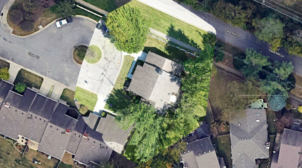
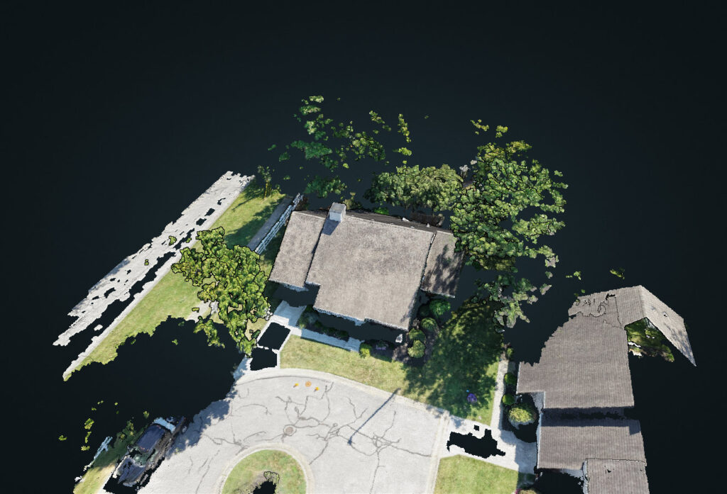
A planned aerial mapping mission can create more than photographs. The same captured imagery can be processed into detailed overhead views, three-dimensional models, elevation information, and a documented record of the imagery used to build them.
ORTHOMOSAIC
See the Property as a Whole.
3D MODEL
Explore the Property in Three Dimensions.
WHAT YOU CAN EXPECT
DOCUMENT Capture the Conditions.
We capture high-resolution aerial imagery from the perspectives needed to clearly document roofs, structures, property features, and surrounding conditions.
ORGANIZE Create a Clear Record.
We organize the imagery into clear visual documentation that makes property conditions easier to review, reference, and compare over time.
DELIVER Provide Useful Documentation.
We provide organized visual information that can support evaluation, planning, maintenance, project records, and future comparison.
NEED A CLEARER VIEW OF YOUR PROPERTY?
Let’s Talk About What You Need.
Tell us what you need to document. We’ll help determine the aerial imagery and perspectives that can provide the clearest view of the property.